

68
likes
5
comments
daily view 0
monthly view 0
Live Analytics
Comments 0
C3D 2020.1 Autodesk Connector for Civil 3D Analytics Table
Income Estimates for C3D 2020.1 Autodesk Connector for Civil 3D
Based on this YouTube video's total view count of 7.93K views and industry-standard rates, the estimated total earning is $6 - $16 through ad revenue. Historical data is not yet available to calculate daily, weekly, or monthly averages.
About C3D 2020.1 Autodesk Connector for Civil 3D
Explore C3D 2020.1 Autodesk Connector for Civil 3D with 7,934 views, 68 likes, and 5 comments. Experience the impact of this video content that has captured audience attention.
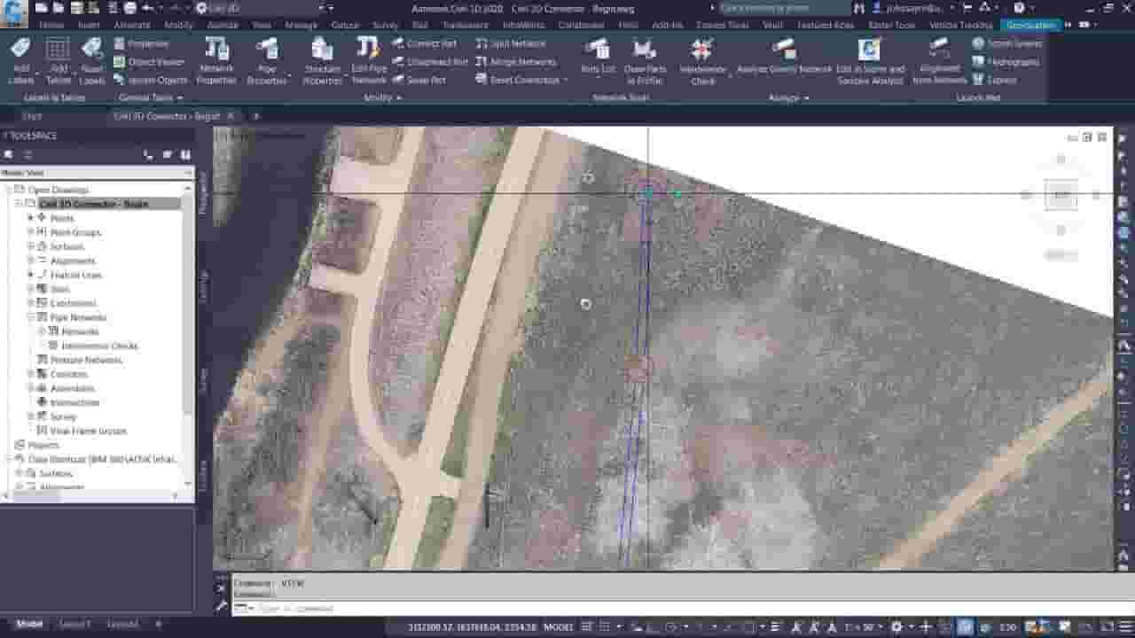
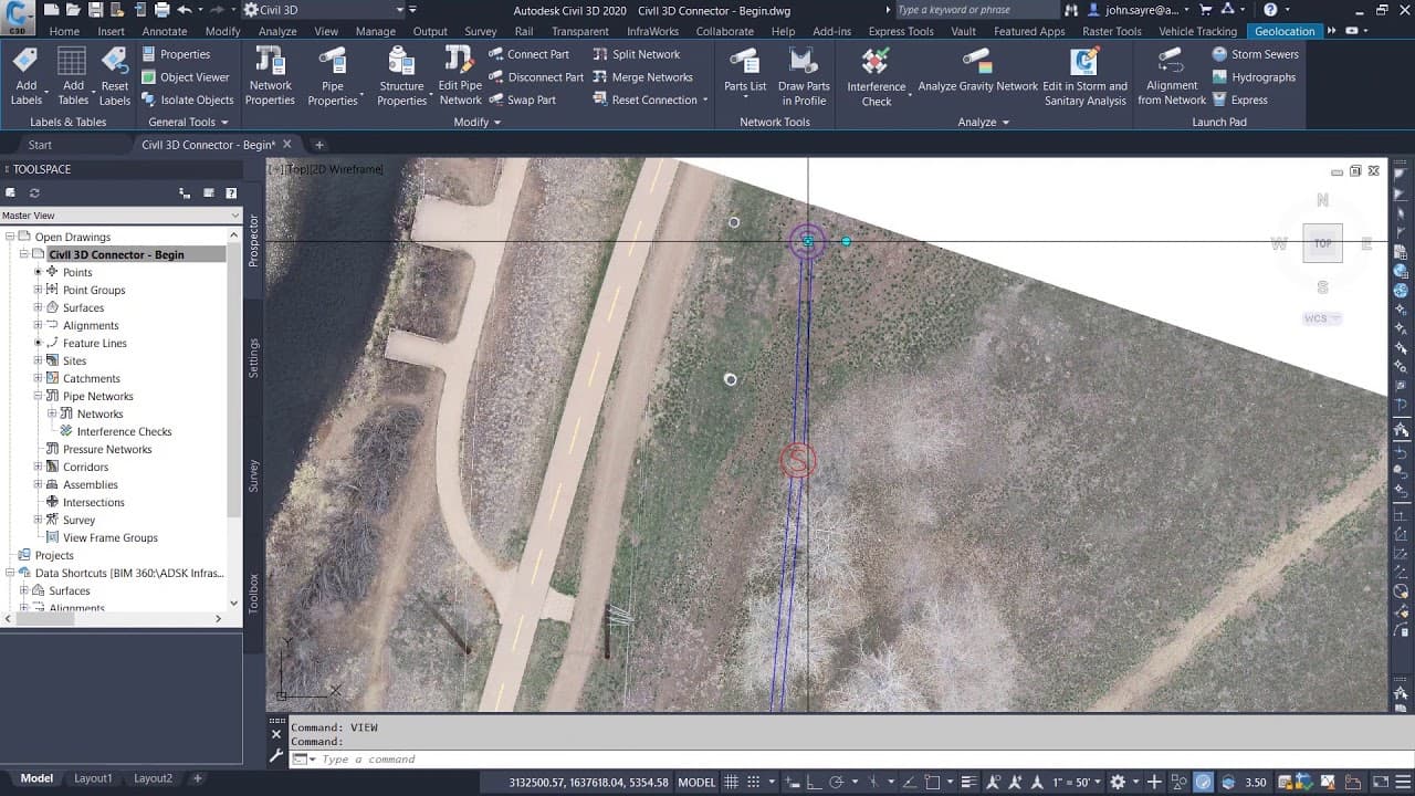
New Civil 3D 2020.1 connects directly to ArcGIS Online so you can establish richer, more accurate existing conditions. Learn more: https://autode.sk/2Zrvypt & https://autode.sk/2ZpGTam Follow us on Twitter: @AutodeskCivil3D - https://autode.sk/2Nri9Jd / @infraworks - https://autode.sk/2YvZ8q8 Follow us on Facebook: @AutodeskInfraworks https://autode.sk/2V66NZH / @Autodeskcivil3d -https://autode.sk/2XhwwiT Subscribe to the Blog to stay up to date: https://autode.sk/2BZSjUt Script for Video: Inside of Civil 3D 2020.1 you can now access ArcGIS Online directly inside of Civil 3D via the Connector for ArcGIS. With the Connector, you can streamline the population of rich GIS data directly into your design environment which will help you to make design decisions for your project. You can quickly select how you want the data represented inside of Civil 3D. With Pipe Network Schema Mapping, you can map attributes from the GIS data attributes to populate in your pipe network. When working with your gis data, you want to be sure that you are working with the most current information. The Connector keeps that live link to the data when updated in ArcGIS. But now you have the option to make changes to that data in Civil 3D and perform a Save Back to ArcGIS. In this example, from our high resolution image, we can see that the manholes might not be located correctly, you can update the location, and then Save Back to ArcGIS. This updates the information in ArcGIS Online. Having rich GIS data is key when moving into the design of your project. It helps the Civil Engineer to make better design decisions, such as horizontal and vertical alignment of new utilities. During the process of design, when the design is approved, through construction, and when as-builts are created, this data needs to be updated at all stages of the project to reflect the latest information. Now with the ability to Publish to ArcGIS, you can take advantage of the live link to data and ensure that not only existing conditions data is up to date, but all stages of the project data is up to date and can be accessed by all stakeholders.
About YouTube Real-Time View Count
With SocialCounts.org’s view counter, track your YouTube video’s live view count and YouTube likes count in real time with fast, reliable updates.
Watch every YouTube video live view count rise with our real-time YouTube views tracker—built for accuracy and minimal delay.
Follow YouTube real time views as they happen, using our dedicated view counter for YouTube videos.
Get up-to-date live view count on YouTube and see real-time growth with SocialCounts.org’s smart tracking tools.
Embed Widget
Parameters:
fullscreen=true- Fullscreen countergraph=true- Live graph chartcounter=0/1/2- Select counter (0=likes, 1=views, 2=comments)
URL
Click to copy the embed URL to your clipboard